Which Metro is Near Sarjapur Road?

The metro near Sarjapur Road is the Purple Line, with the closest station at Seetharampalya. The line runs through the Whitefield area. It gives access to the tech parks and housing areas here. Sarjapur Road is a growing area where many people live and work. There is a need for fast and efficient transportation in the area.
The metro in Bangalore is its modern fast public transit system. It is also called the city’s Namma Metro. The system has trains that run above and below ground. It covers an area of 76.95 kilometres. The Green and Purple lines are in use. The Bangalore metro map shows 66 stations are open at present.
The distance of the metro station from Sarjapur is 13.8 kilometres. There are other stations, too, that are within 15 kilometres of the area. These include Kundalahalli, Hoodi, and Nallurhalli. These stations are part of the Purple Line that serves the east zone.
On checking the nearest metro near Sarjapur Road timings, the trains run from 5 a.m. to 11:30 p.m. The timings are perfect for people who go to work and for students. It is easy to get to areas like Whitefield, Indiranagar, and MG Road from the metro station at Seetharampalya.
Phase 3A of the metro will run between North Bangalore’s Hebbal area to Sarjapur Road in its southeastern part. It will run for 36.59 kilometres. The line is to be completed in 2031. Kodathi Gate, Ibbaluru, and Muthanallur Cross are the names of the Red Line metro stations near Sarjapur Road.
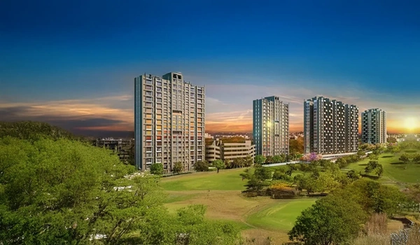
The metro will help people get to the residential projects here, such as Birla Evara, easily. The grand apartment complex by Birla Estates project has 1 to 4-BHK homes on a lush area of 27 acres. The stations here will make it easy for the people living in Birla Evara to travel to other parts of the city.
As the metro grows, it will make the neighbourhood easier to get to. It will link the area to all the work hubs of the city and its many services.
| Enquiry |
